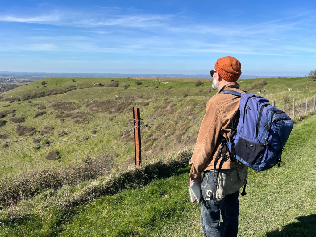
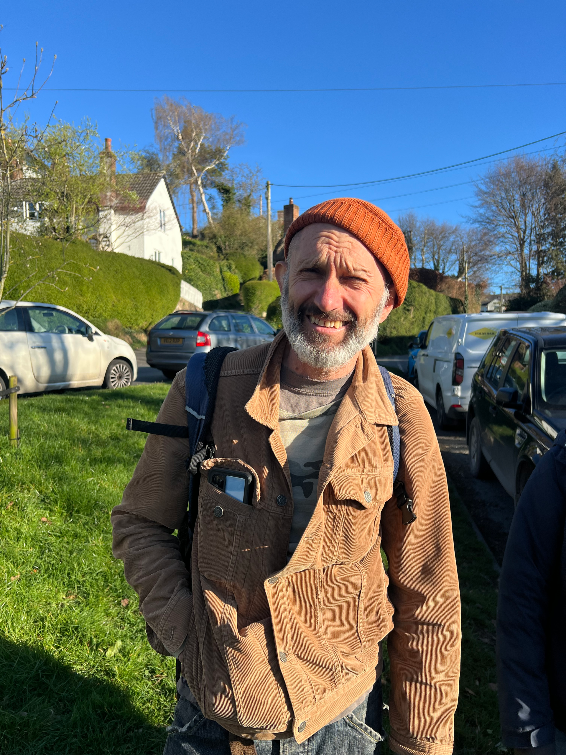
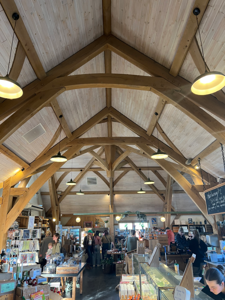
Based near Bath in South West England, Tim is a passionate hiker and map reader. A timber framer by trade, he also helped to build the beautiful frame of a local farm shop we were lucky enough to visit. Our two families went on a walk together, during which he shared why this is such an important part of his life.
How do you choose a location?
One way is to start with a road map to get an overview of an area, then narrow down a location within that. Then I get my maps out. Assuming you`re driving to your location, you need to think about where you can park relative to where you start and finish the walk. I also look for areas with variations in elevation – hills, valleys and ridges. The higher areas are where the contour lines on your map get closer together.
You want to be away from red roads [main roads, dual carriageways] and blue roads [motorways]. If you`re planning a walk with other people, especially if your group includes young children, you`ve got to think about what is a manageable distance and elevation. Get a sense of the scale of the map so you know roughly what a mile is. There are great little map measuring tools out there but I prefer to just gauge it roughly using my finger and thumb.
Finally, I recommend having a pub on your route! This gives everyone something to look forward to. There`s something unique and special about arriving at a rural pub on foot having navigated the surrounding countryside on a route you`ve planned yourself, rather than driving straight to the car park using SatNav.
Where do you get your maps?
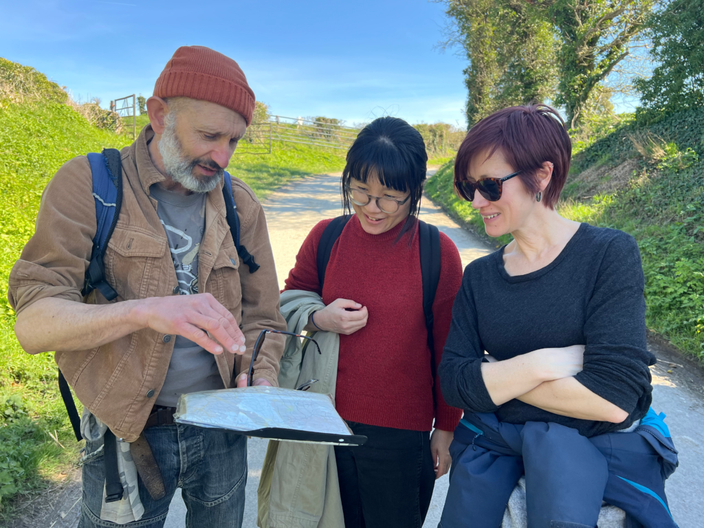
I already have lots of OS (Ordinance Survey) maps as I`ve been planning walks for quite a long time, but these are easy to get. There is an official OS shop online where you can get paper and digital maps, and they`re available on the high street from places like Millets, Waterstones and WH Smith. I believe petrol stations carry them as well. You can even borrow maps from the library!
I use OS explorer maps; there are also the purple OS Landranger maps available but I prefer the scale on the OS explorer type. When we go on holiday, I always try to get a map as well – interestingly, so far I`ve not found another country outside Britain which has the same quality and detail of maps as the UK.
How did you first get into map reading and planning walks?
I learnt around age 12 through going out on walks with my dad. I wasn`t taught as such but I kind of soaked it up through osmosis! One thing my dad definitely passed on to me was a willingness to just `figure it out`. Sometimes you`ve just got to get stuck in and trust yourself a bit.
One fond memory I have is of family holidays driving down to Cornwall, when my dad would suddenly say “turn off here!” and we`d drive into a farmer`s field and have a picnic. I don`t recall us ever being challenged by any farmers or landowners, but as a belligerent Yorkshireman I don`t think he`d have been bothered anyway! Funnily enough, much later when I tried to take someone out myself for the first time and emulate this experience, we were confronted by a disgruntled farmer straight away! So he must have had a nose for the right location I suppose!
What aspects of map-reading, planning and walking do you most enjoy?
Another real joy on a walk is identifying plants, trees, animals and birds. This is also great for kids as well. For example, I always recognise the sound of a Skylark, which is really uplifting and lets me know spring is here!
Flowers are another good one. A great book for this is `Wild Flowers of Britain & Ireland` by Alastair Fitter, Marjorie Blamey, and R. S. R. Fitter. Another one is The Mitchell Beazley Pocket Guide to Wild Flowers by Peter D. Moore. I also love finding edible plants, such as Sorrel – but you need to be careful with this!
Yes, you could use Google image search, but for me there`s a whole investigative process that is lost when you identify things instantly that way. For example, by using the book, you can actually count the petals (which attract insects) and sepals (which protect the bud) and go on a whole detective process and accurately identify the flower yourself. This is one way you can get really immersed in your surroundings – which is a great mindfulness exercise!
On that point, for me a walk is an opportunity to get away from screens, especially for the kids. I`ve seen people up in the lake district walking with their phones pointed in front of them the whole time, which works, but it`s not for me!
When I was younger I loved to plan hikes for myself and go out alone. I prefer to get away from everything, especially the really touristy spots, and once you can grasp the basics of map-reading and route-planning, you can easily find less visited routes if you want to. Although it`s more challenging planning a route for others, as you`ve got to take more factors into account, more and more as I get older I enjoy getting out with others, planning walks I think they`ll enjoy and talking to them about the process.
Has walking benefitted your fitness?
Yes, absolutely, and the process of map-reading, planning and navigating is mentally really stimulating as well. Recently I`ve been doing more and more yoga and back and core exercises as well, which has really benefitted me. For example, side planks have really increased my core strength and reduced injuries.
When I was younger, I used to hear people say `listen to your body` and I kind of dismissed it. But now that I`m a bit older, this is much more meaningful to me – and I feel that I can actually do it!